

A Transit System Fit For Canada’s Capital.
Ottawa Transit 2067 is a comprehensive, realistic, long-term concept for what the transit network in Canada’s capital city could look like by its bicentennial year of 2067.
Incorporating All Modes of High-Order Transit.
A 40-Year timeline, starting in 2027.
After 3 years of preparation, Ottawa can set in motion the single-largest transit expansion in Canada’s history — preparing the capital for its future needs and desires. Accommodating population growth while responding to climate change through progressive design & policy.
Designed Today, Ready for Tomorrow.
OT67 is built around Ottawa’s fundamental landscape. It uses our established corridors and existing routes in new ways to elevate the functionality of our entire transportation system.
Created By:

In Association With:
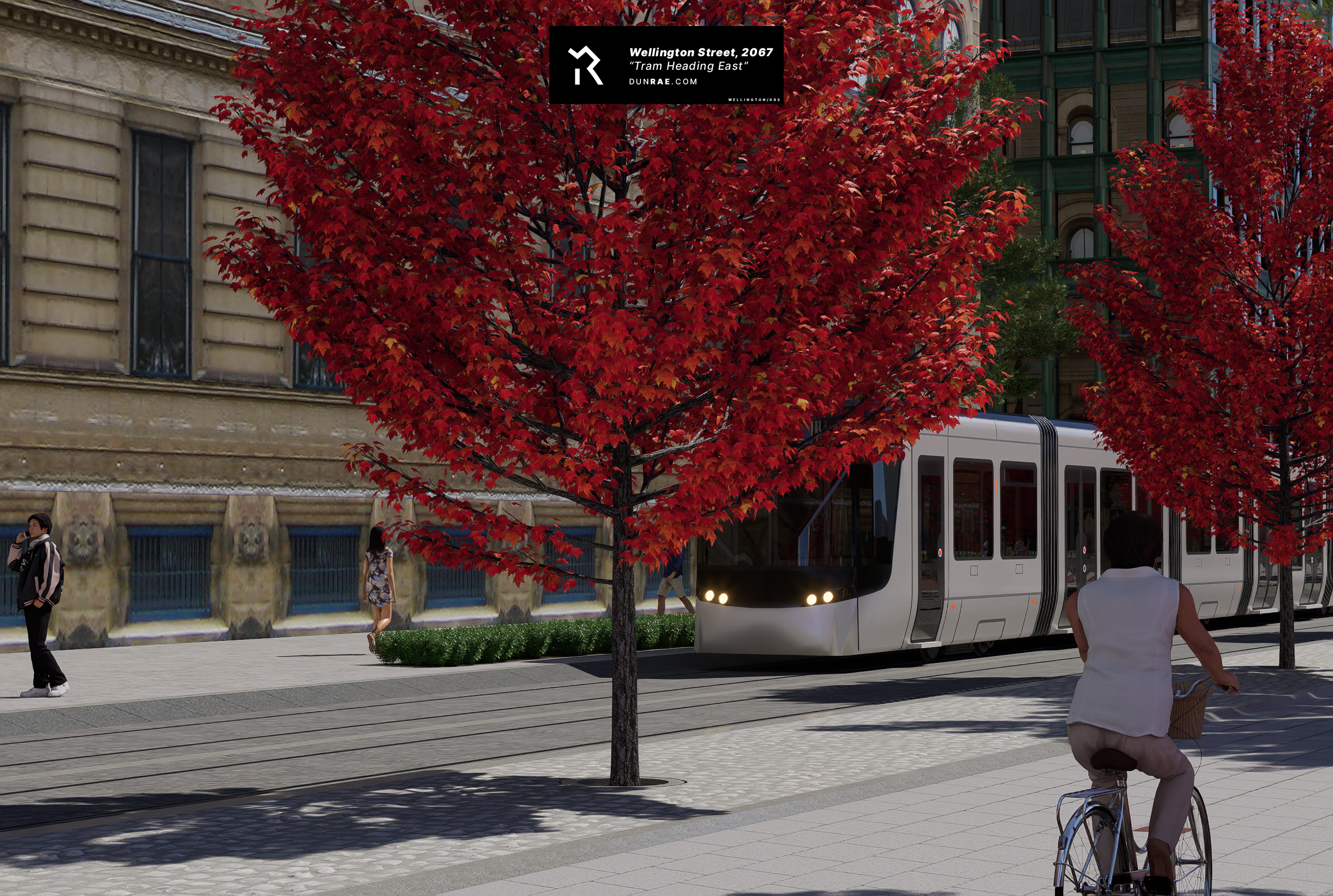
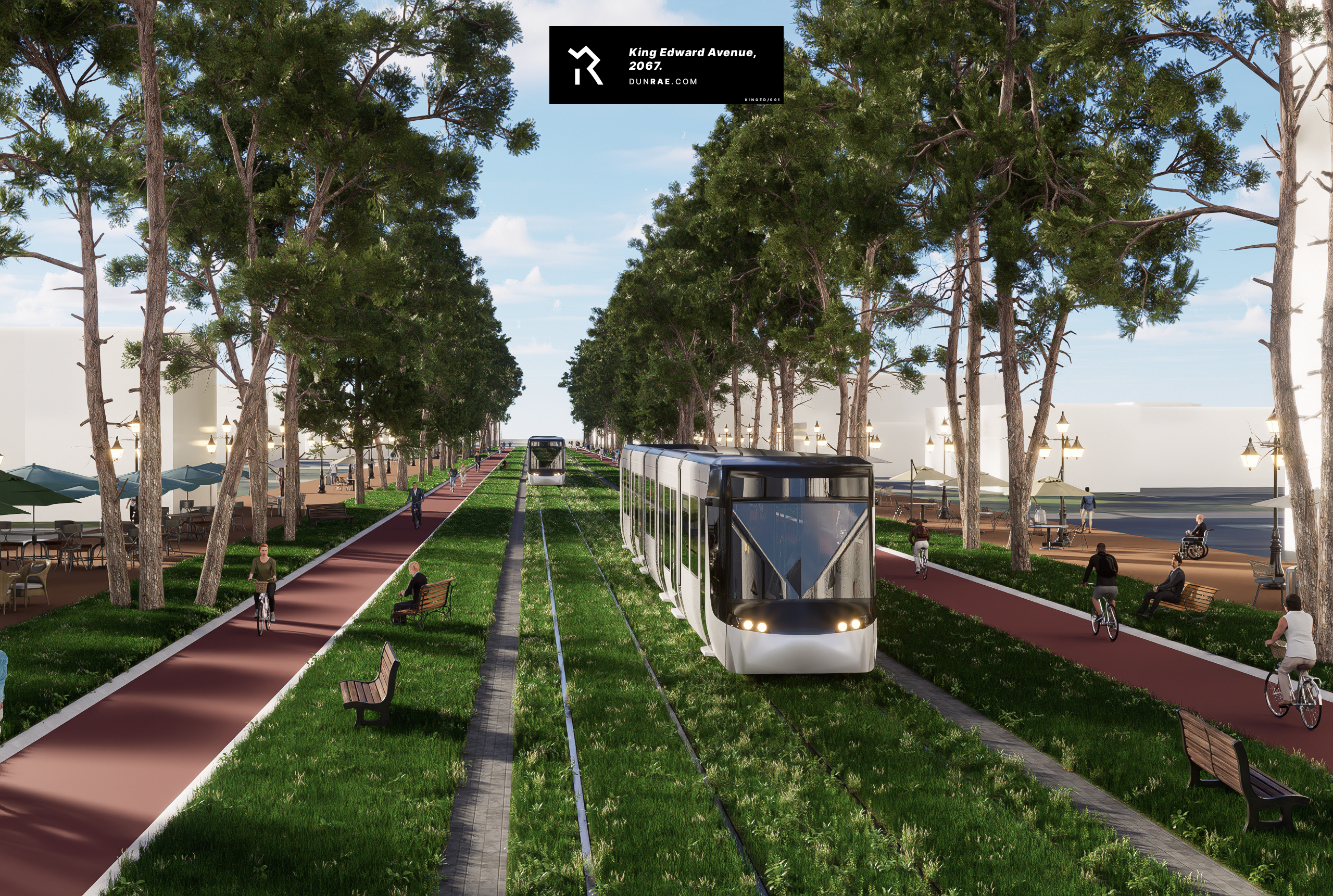
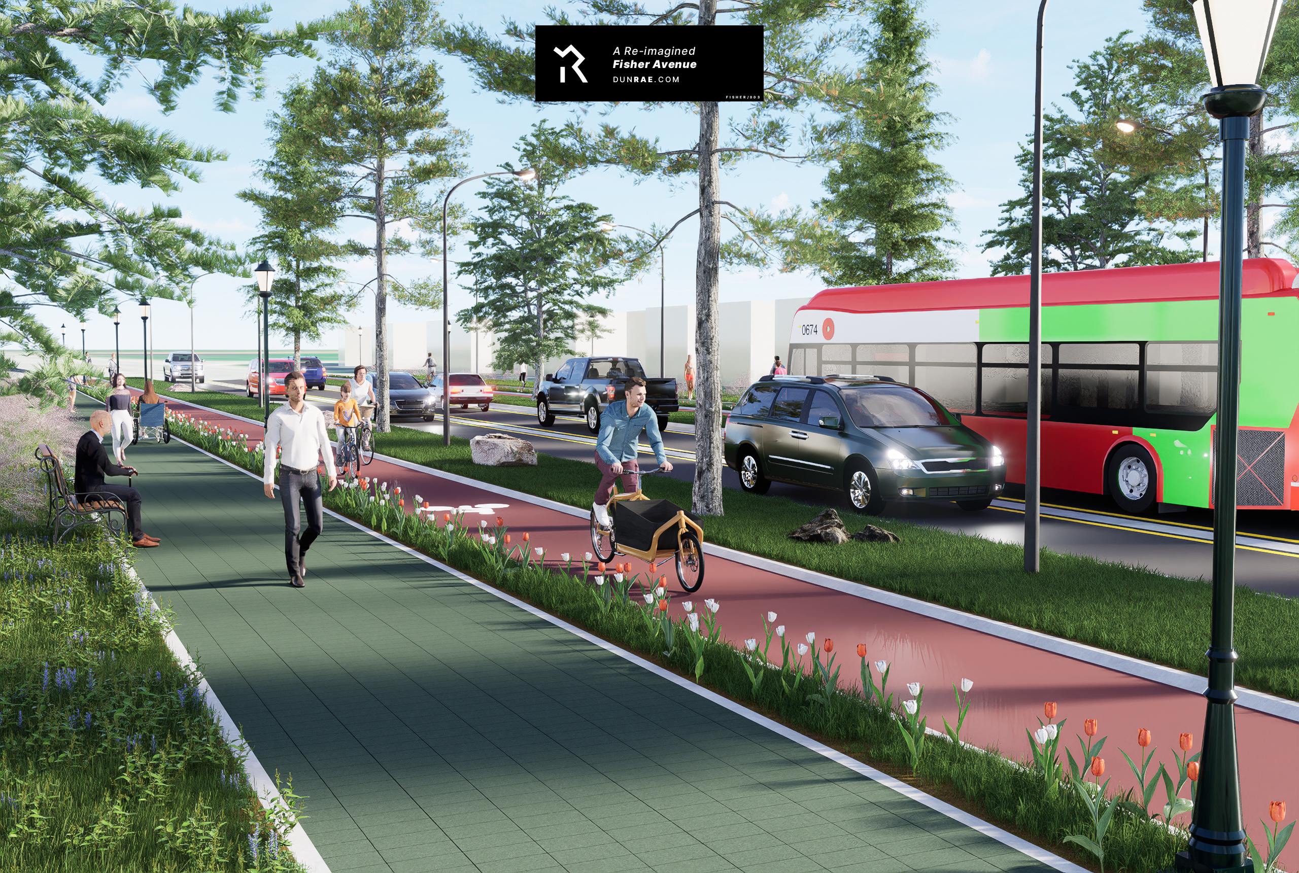
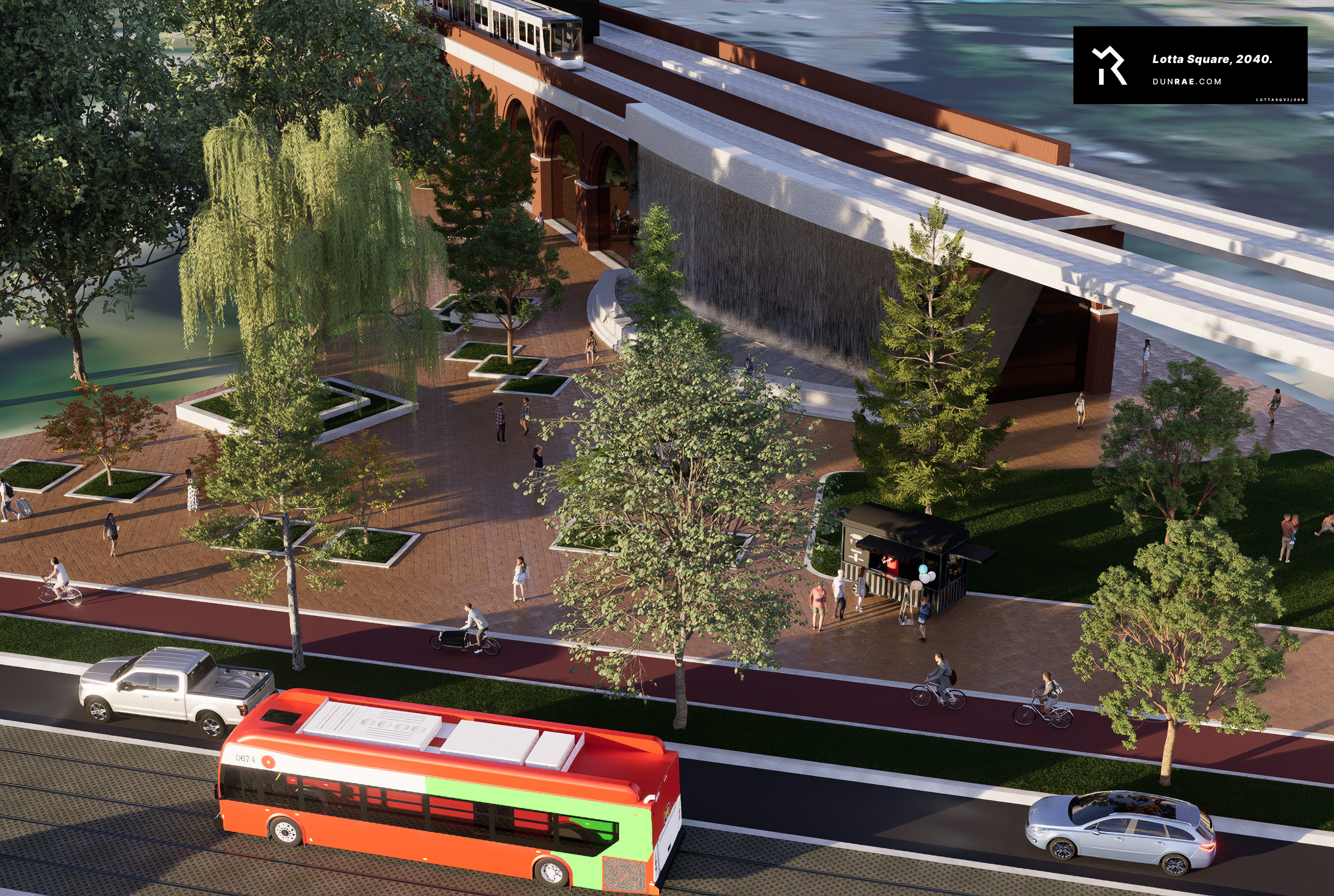
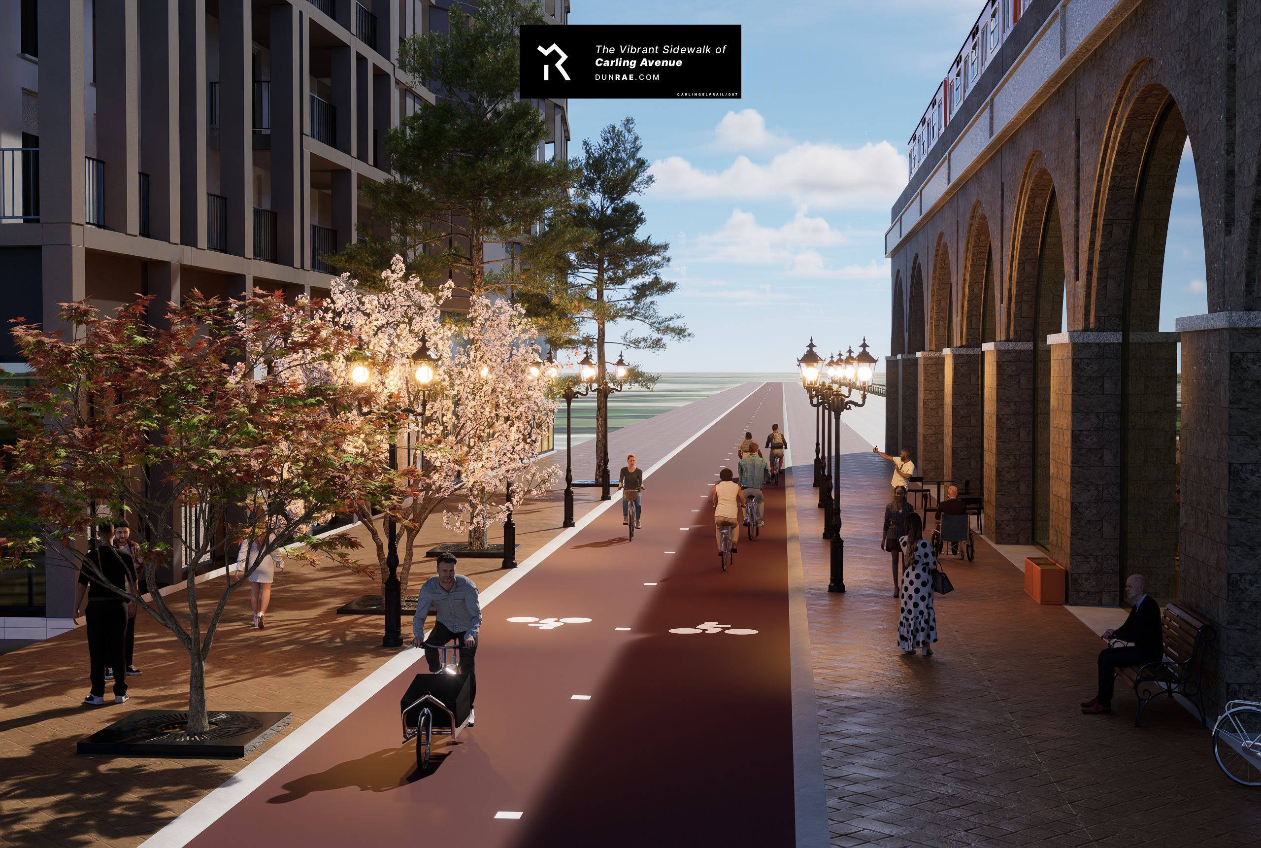
A City to be Hopeful For.
OT67 will help to build an even more beautiful Ottawa. One that solves our transportation needs while creating spaces to enjoy and spend time in.
Phase 1 (2037)
View the first phase of OT67: Phase 1 (2037), which outlines Ottawa’s best path forward from where it stands today. It begins by rethinking the scope of Stage 3 LRT, and asks the question: “For the same cost, what could Ottawa build instead?”
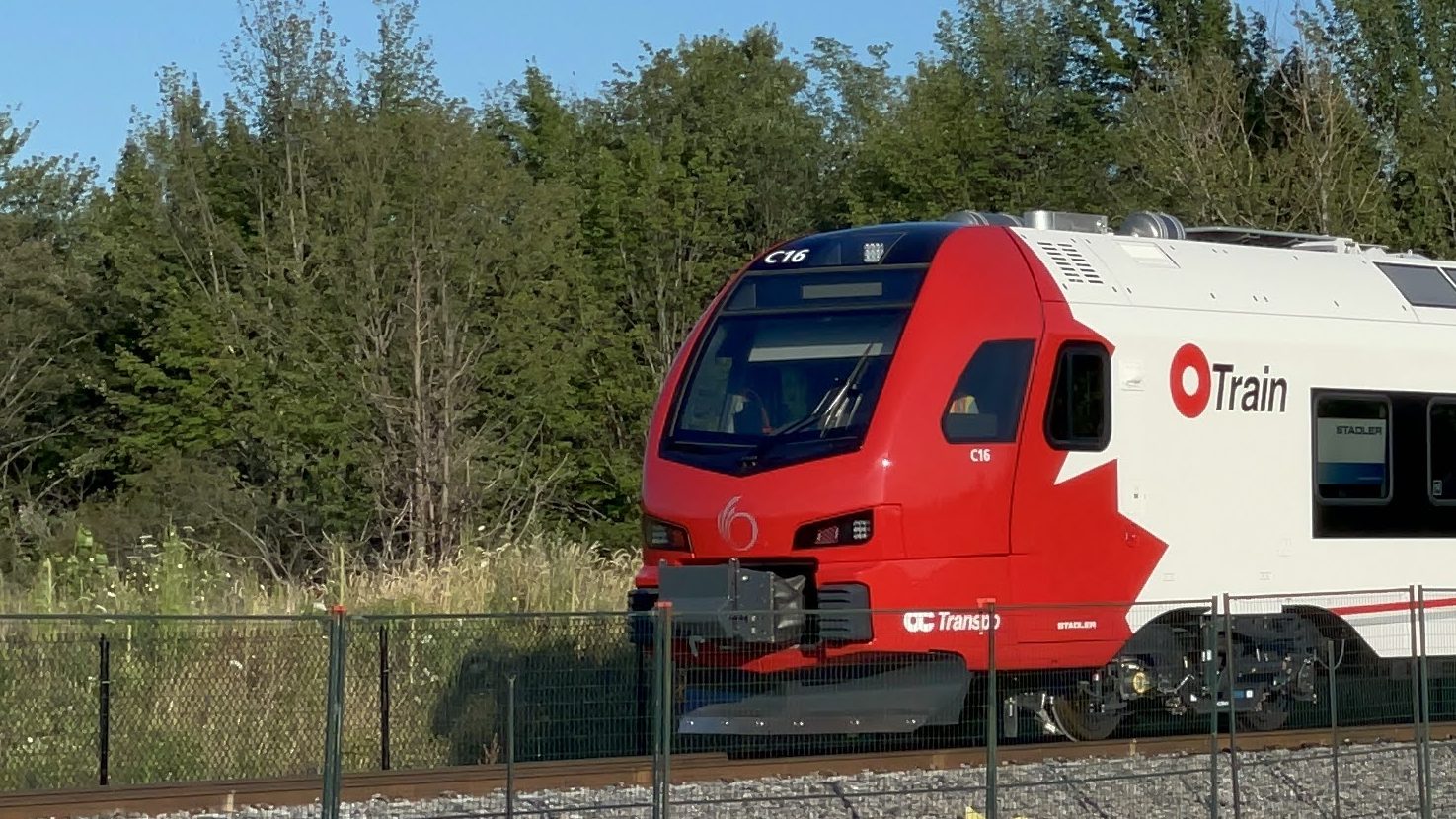
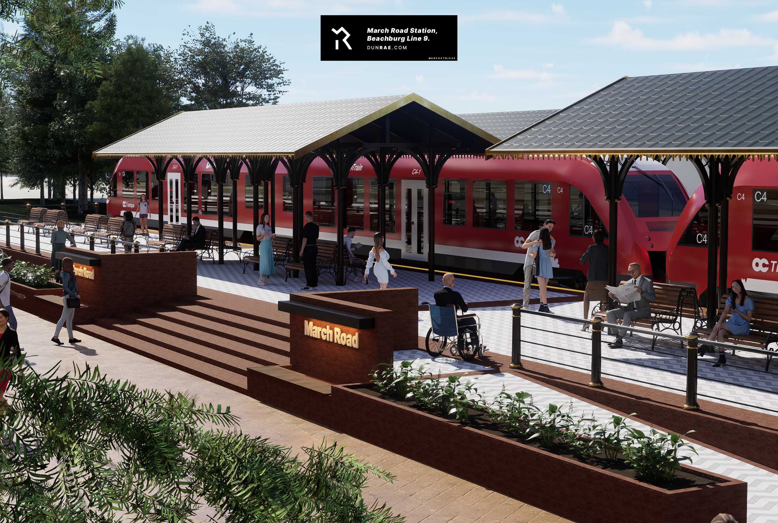
Getting Back to Our Roots
Phase 1 focuses on building what Ottawa knows best. It focuses on hardened, reliable infrastructure that Ottawans can be confident in. It does so by expanding on the many successes of the Transitway system and original Trillium OTrain Line.
Creating a City-Wide Network
By taking advantage of our history, Ottawa can expand transit by rehabilitating old railways that have since been abandoned. By doing so, Ottawans would see the creation of an expansive, city-wide interurban rail network at a much lower cost.
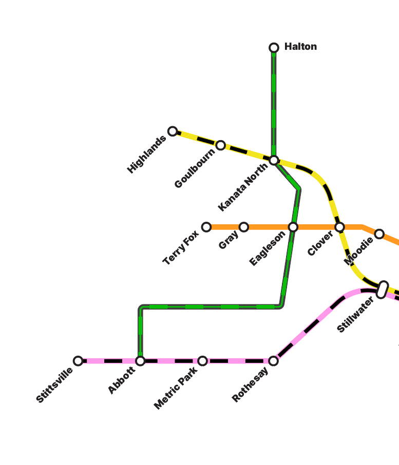
Fast Forward to 2067
View the entirety of OT67 through a high-detail interactive map. See Lines, Stations and Transfers throughout the National Capital Region.

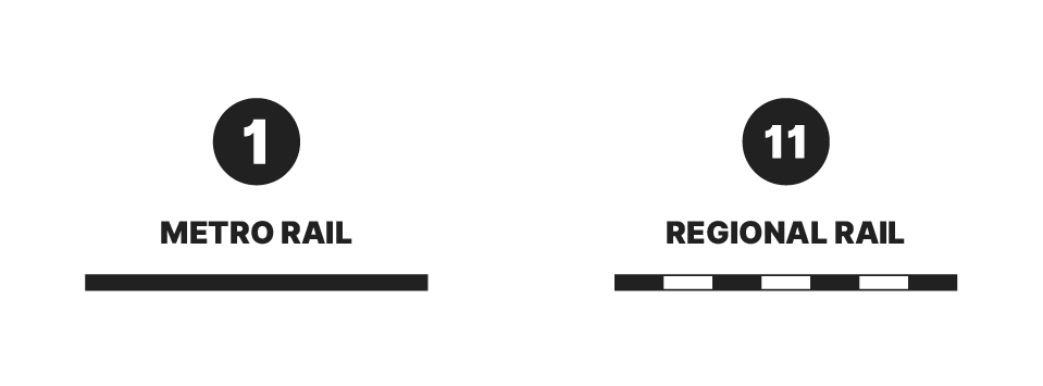
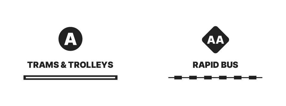
A Layered System…
Much like many capital cities, OT67 features its extensive network divided by mode type, allowing for an intuitive understanding of the system. This results in simple wayfinding for the average user, expanding OT67’s accessibility.
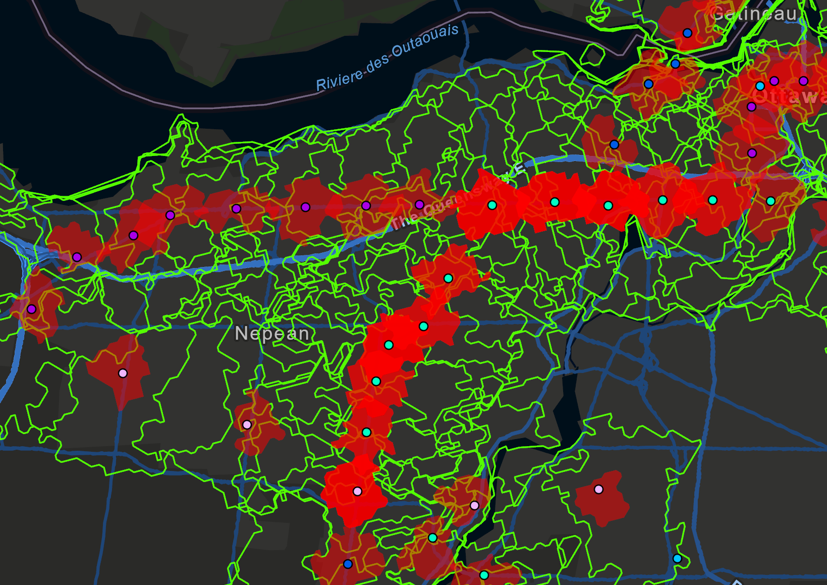
…Backed by Data
OT67 is backed by an extensive collection of graphics and maps, showing detailed data like walkshed & bikeshed calculations, population catchment areas, extrapolated density targets, and cost projections.
Transit Integrating the Entire National Capital Region.

Note: OT67 is a work-in-progress.
OT67 is a large, highly-detailed project and as such is not completely finished. Expect more data analysis, concept renders, and line revisions in upcoming versions.
Feel free to contribute your thoughts and ideas either by visiting the official repository, or by contacting via email.


